
Routes, GPS coordinates & tips for your arrival
Access and GPS
Your ideally located stopover between Quimper, Lorient and Concarneau
How to get to Clos St André ?
Nestled in a lush green setting, in Scaër
The Clos St André enjoys a privileged location in Scaër, between the countryside and the sea. Le Clos St André is the ideal starting point for exploring Southern Finistère, just 30 minutes from the beaches and towns of character such as Concarneau or Pont-Aven, 30 minutes from Carhaix and 20 minutes from Gourin and the Black Mountains.
📍 Our contact details
Address : 5 Rue Laënnec, 29390 Scaër, Finistère, Brittany.
GPS coordinates:
- Latitude: 48.0265484 (48° 01' 36'' N)
- Longitude: -3.7068303 (-3° 42' 25'' W)
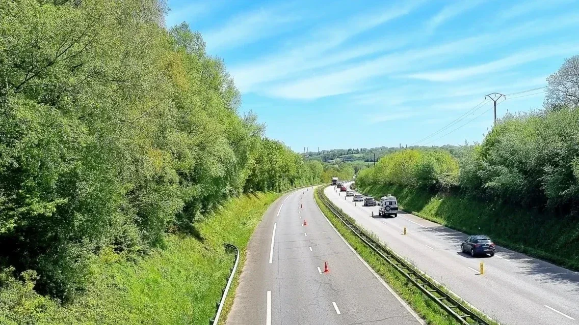
🚗 Coming by car
Scaër is easily accessible via the main Breton roads (N165):
- From Lorient (40 min): Follow the direction of Quimper, take the exit towards Bannalec/Scaër.
- From Quimper (35 mins): Follow the signs for Coray/Scaër.
- From Rennes (2h00) : Follow the N24 towards Lorient, then follow the signs for Gourin/Scaër.
Parking: Free parking is available outside (on the street in front of Le Clos St André) for the entire duration of your stay or event.
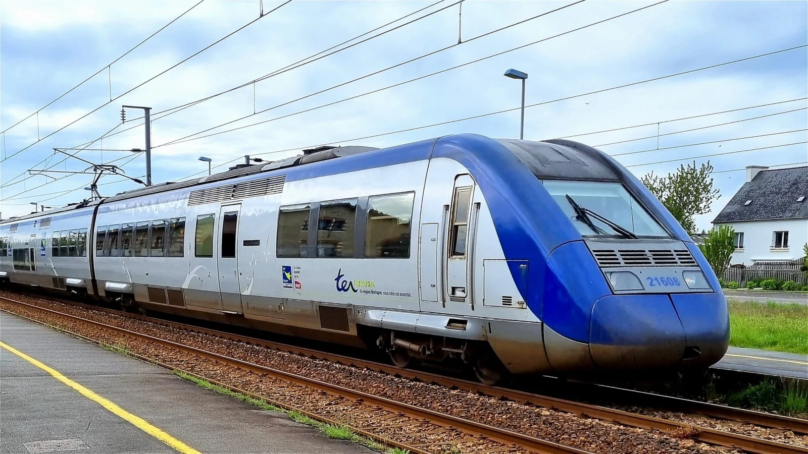
🚄 Coming by train
The nearest TGV train stations allow you to reach us easily:
- Quimperlé train station (20 min): Direct connections from Paris Montparnasse and Rennes.
- Rosporden station (20 min): Quick access for travelers coming from Finistère.
- For greater simplicity, you can use online transport booking apps or websites to buy your train and bus tickets, and optionally check timetables and connections:
- Option to book a taxi or rent a vehicle upon your arrival at the station.

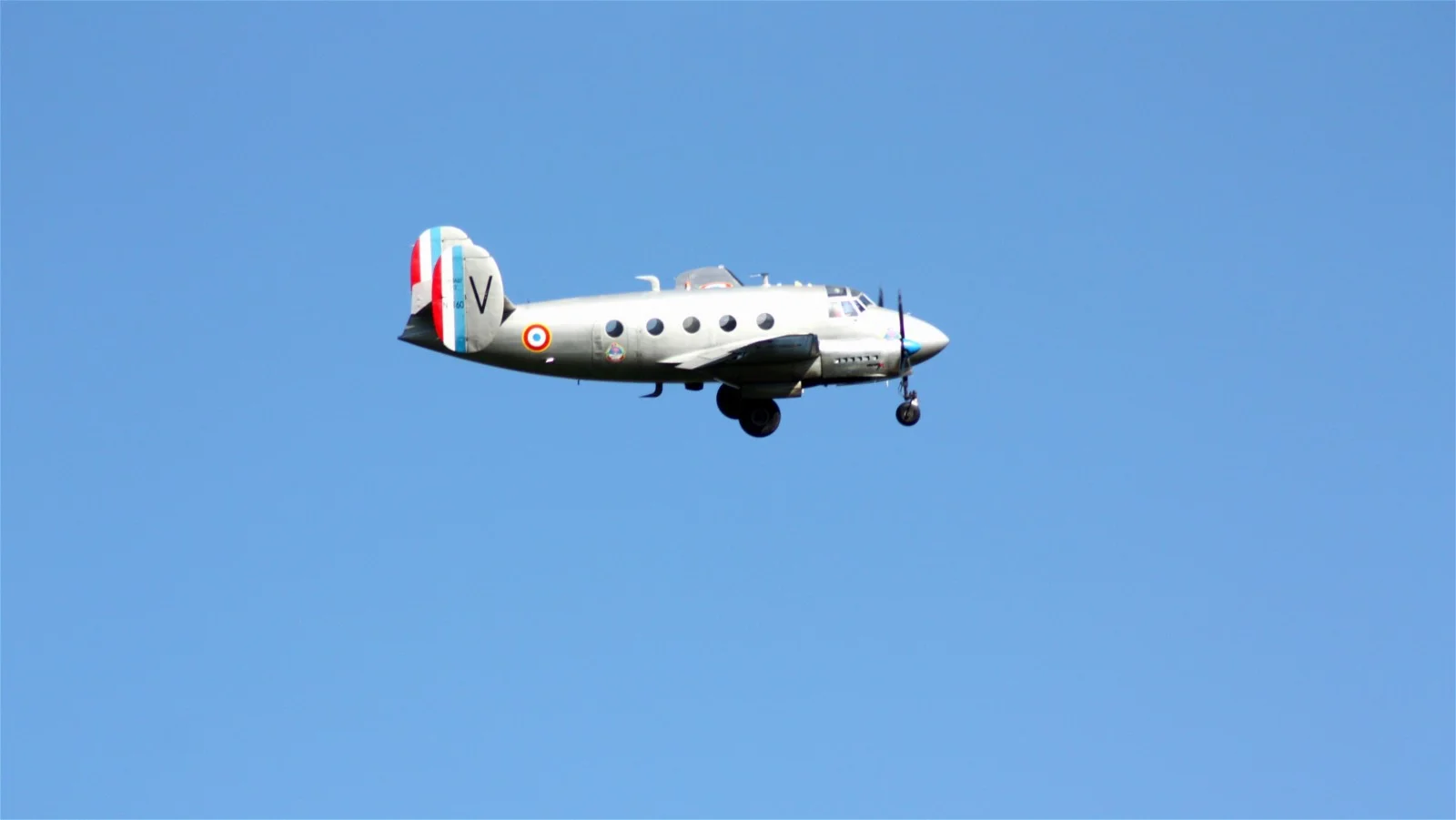
✈️ Arriving by plane
- Lorient Bretagne Sud Airport : about 45 minutes away.
- Location: 56270 Lorient (Ploëmeur)
- Phone: +33 297 872 150
- Brest Bretagne Airport: about 1h15 away.
- Location: 29238 Brest
- Phone: +33 298 328 600 - Bretagne Atlantique Aerodrome: about 15 mins
- Location: Guiscriff 56560
- Telephone: +33 297 340 855
- Connections: Mainly for local flights and general aviation services. - After arriving at one of these airports, you can rent a car or use public transport to get to Scaër.
- Be sure to check flight schedules and transportation options for a smooth journey.
All modes of transport to organize your journey to Scaër
Come by car, train, plane or bicycle!
Map & GPS Coordinates
Interactive map
Arrival tip:
- If you are coming from Bannalec or Rosporden, head towards the town centre.
- Le Clos St André is located 70 meters on your right, just before the bus stop and the intersection of Route de Coray and Route de la Gare. (Before Carrefour store)
- If you are arriving from Gourin, Le Faouët or St Thurien, drive through Scaër to the Route de Coray intersection, then go 80 meters and the entrance will be on the left.
- If you are coming from Coray, at the stop sign, turn right, go 80 meters and the entrance will be on the left.
💡 The "Tourism" bonus:
- Enjoy your journey admiring the rolling landscapes of Brittany (the Black Mountains or the Monts d'Arrée).
- If you are arriving via Greenway No. 7 (300m), please note that LE CLOS ST ANDRÉ is a perfect stopover for hiking and cycling enthusiasts!
LE CLOS ST ANDRÉ
5 Rue Laënnec
SCAËR 29390
FRANCE
Tel: +33 298 594 216
GPS coordinates:
- Latitude: 48.0265484 (48° 01' 36'' N)
- Longitude: -3.7068303 (-3° 42' 25'' W)